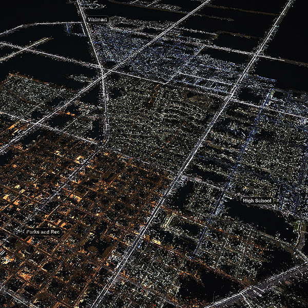
Bohannan Huston's spatial data services deliver the highest quality data products to customers whose needs include mapping, built and natural terrain modeling, survey, GIS/LIS technologies, geospatial web, and asset inventory.
Mapping and GIS
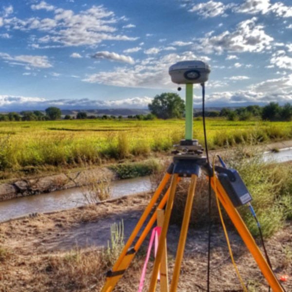
Surveying
Our expert staff integrates the disciplines of mapping, geodetic and engineering surveying, photogrammetry, remote sensing, aerial and ground-based LiDAR surveys, and spatial computing and analysis. We use the most current and efficient data gathering tools and computing environments to provide effective mapping solutions for our customers.